NASA partnership with the Indian Space Research Organisation (ISRO)

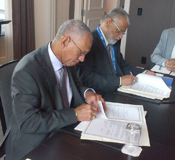
NASA Administrator Charles Bolden (left) and ISRO Chairman K. Radhakrishnan signing documents in Toronto on Sept. 30, 2014, to launch a joint Earth-observing satellite mission and establish a pathway for future joint missions to explore Mars. Credit: NASA
NISAR is a joint Earth-observing mission between NASA and the Indian Space Research Organization (ISRO) with the goal to make global measurements of the causes and consequences of land surface changes using advanced radar imaging. This mission concept and the resulting partnership are in response to the National Academy of Science’s 2007 survey of Earth observational priorities for the next decade, known as the decadal survey. One of the top priorities identified in this survey was to gain data and insight in three Earth science domains: ecosystems, deformation of Earth's crust and cryospheric sciences.
As NASA and ISRO discussed the possibility of a joint radar mission, it became clear that this goal was of great interest to the ISRO science community. ISRO identified science and applications that were complementary to the primary mission objectives: agricultural monitoring and characterization, landslide studies, Himalayan glacier studies, soil moisture, coastal processes, coastal winds, and monitoring hazards. A second radar frequency was added to the mission to better fulfill these science requirements. NISAR will be the first satellite mission to use two different radar frequencies (L-band and S-band) to measure changes in our planet's surface less than a centimeter across. The partnership with India has been key to preserving as much science as possible.
On Sept. 30, 2014, NASA and ISRO signed a partnership to collaborate on and launch NISAR. The mission is targeted to launch in 2024. NASA is providing the mission’s L-band synthetic aperture radar, a high-rate communication subsystem for science data, GPS receivers, a solid-state recorder and payload data subsystem. ISRO is providing the spacecraft bus, the S-band radar, the launch vehicle and associated launch services.
